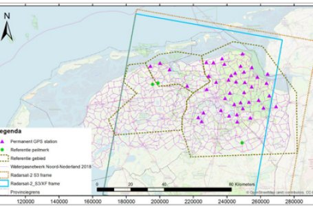
'Radar satellites have been crucial in soil deformation research for more than twenty years'
Land subsidence deformation is one of the major social challenges facing the Netherlands. It has major consequences for citizens, governments and also for companies. The Dutch Petroleum Company (NAM) frequently uses radar satellite data to investigate movements in the ground. Geomatics Manager Raoul Quadvlieg: 'Measuring from space is cheaper and safer than sending people into the field.'
Read more on the NSO website

